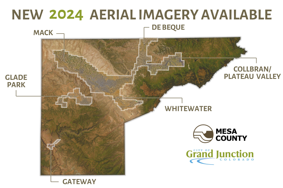
2024 Aerial Imagery Available
Mesa County and the City of Grand Junction have released new air photos for 2024. The imagery, captured in April 2024, covers the Grand Valley from Mack to Whitewater, the I-70 corridor through to De Beque, and areas around the towns of Mesa and Collbran. For the first time since 2019, imagery was also captured in Glade Park and Gateway.
This year, resolution has been increased. Central areas in Grand Junction have a 1 inch resolution (up from 3 inch), while the rest of the coverage area is at a 3 inch resolution (up from 6 inch).
Use the map viewer to view the latest and historic imagery. You can also visit Mesa County Open Data to download areas of interest – this is the best way to view the level of detail available in the 1 inch air photos.