
Open Data
What is the Open Data Portal?
The Mesa County Open Data Portal provides free public access to geographic information systems (GIS) data, interactive maps, apps, and documents for Mesa County, Colorado.
Core Functions
- Explore Data: Browse and preview spatial datasets, improvement districts, right-of-ways, and environmental info.
- Download Free Data: Export underlying layer files as spreadsheets, KML (for Google Earth), shapefiles, or GeoJSON.
- Use Apps and Maps: View interactive dashboards (like county-owned facilities or parcel lookups) and preconfigured maps.
- Build Custom Maps: Use the county's open layers with a free ArcGIS Online account.
Common Uses
- Property Research: Check parcel boundaries, zoning, and assessor details via tools.
- Planning and Modeling: Reference spatial data for local projects, drainage districts, and infrastructure.
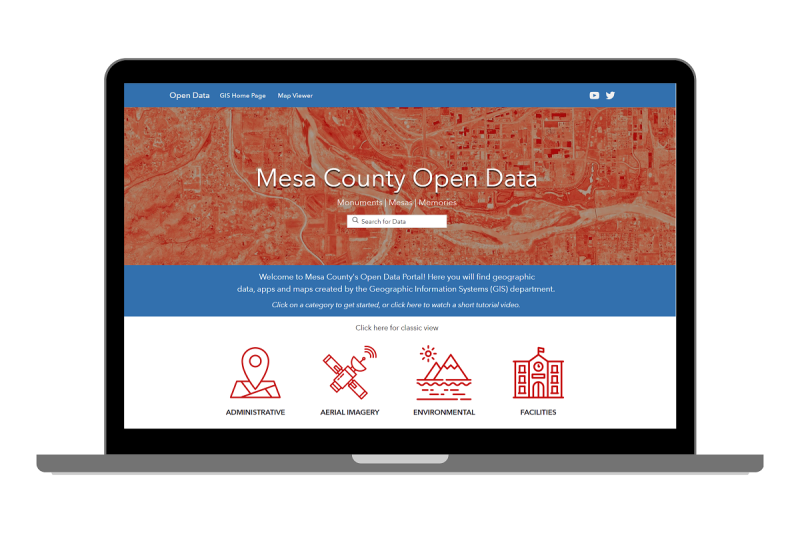
Help video
Watch the videos below for information on how to use the Open Data Site.