Trails in Mesa County
Trail systems
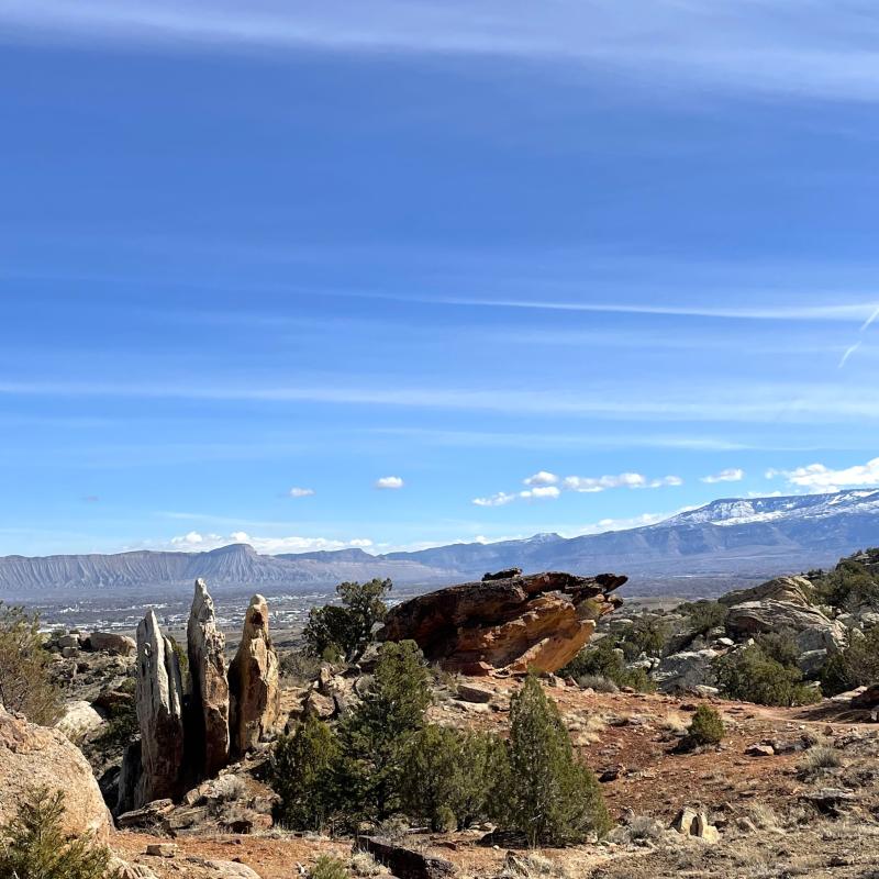
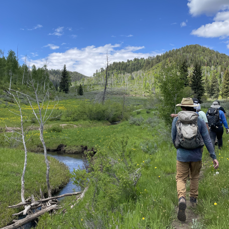
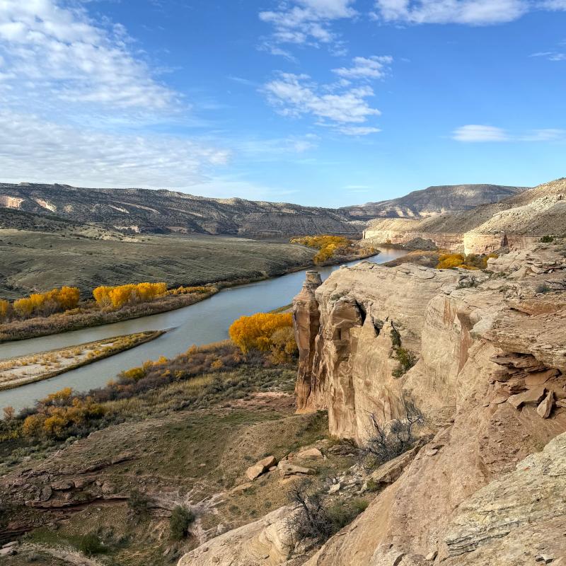
Mesa County offers thousands of miles of trails with drastic landscapes ranging from alpine to desert. The recreation possibilities are immense and include hiking, biking, horse riding, and motorized vehicle trail usage.
Mesa County trails map

Check out our comprehensive Mesa County trails map to find the perfect trail for your next outdoor adventure.
The map provides trail routes, trailheads and parking lots, recreation sites, and boat ramps. By clicking on the trail, you can find information including the trail name, surface type, trail manager, length of the trail section, and allowable uses.
There are camp site indicators on this map, go to Recreation.gov to book your overnight stay.
Other maps
This is a list of the trail systems with helpful links to their respective maps. Note that these links lead to external entities' websites.
The following systems are grouped geographically.
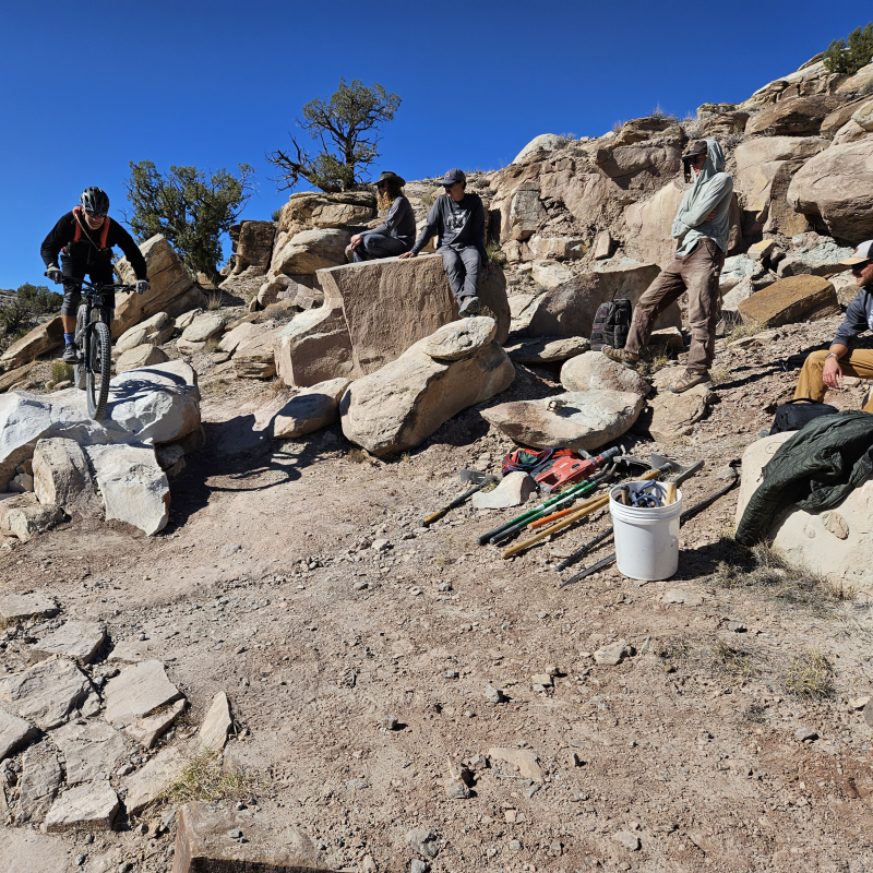
Trail knowledge
- Green circle: Easiest level. These trails are usually wide, smooth, with minimal obstacles, and not steep with an average grade less than 5 percent but no more than 15 percent. Grade is a percentage of 45 degrees.
- Blue square: Intermediate level. The majority of trails fit in this category. They have a tread width 24 inches or greater, an average grade 10 percent or less but sometimes more than 15 percent, unavoidable obstacles up to 8 inches tall, and technical trail features 24 inches or less.
- Black diamond: Experienced or advanced level. These trails are rated very difficult but becomes easier with experience. They have a tread width 12 inches or more, widely variable tread surface, an average grade 15 percent or less but sometimes more, unavoidable obstacles up to 15 inches tall, and technical trail features 48 inches or less.
- Double black diamond: Extremely difficult. These trails are mostly hazardous without proper experience. That usually entails very steep trails, with grades about 20 percent or more, narrow trail width about 6 inches or more, high exposure on cliff edges, mandatory jumps sometimes with gaps, big drops, unavoidable obstacles over 15 inches tall, and technical trail features 48 inches or more.
- Know your experience level. If you are a beginner, keep to the basics and start with a green or blue level trail. Leveling up to the next step involves practice and training. If biking, try riding with a coach or a friend group to get started.
- If biking, always wear a helmet! Your brain is your most valuable asset. In addition, gloves, knee pads, shin guards, and elbow guards are recommended. The type of protection you will need depends on the type of trail you're riding.
- Stay hydrated! Drink at least half a liter of water for every hour you exercise. Always bring extra, especially in the summer when it is hot outside. It's also a good idea to hydrate with electrolytes.
- Always wear sun protection. The UV index is high in Mesa County especially since we have mostly sunny days. Wear appropriate UPF clothing, hats, sunglasses, and sunscreen on bare areas of skin, especially your face.
- Always let someone know where you go and when you should return. You may not always have good cell service on the trails. This is a safety precaution that's an easy step that could save your life if an unfortunate event occurs.
- Stay on the trail. Follow trail signs and ensure you are on the correct trail for your type of transportation.
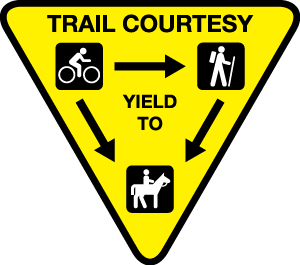
- Read trail marker signs to determine what other user groups are utilizing the trail and respect proper etiquette.
- Avoid widening trails from the result of going around obstacles or cutting corners. Do not create new paths, which are also called social trails. If biking, walk a feature or section of trail if you are unsure of your ability to ride it.
- Slow down when approaching others. If traveling downhill, yield to uphill traffic. When approaching a user on horseback, stop, and allow the horse to pass.
- Avoid using trails in wet or muddy conditions. Turn back sooner than later.
- Respect wildlife and the environment. There are many sensitive species in this area including cryptobiotic soil crust.
- Always carry out what you carry in. If you see trash on your journey, pack it out if you are able to do so.
Electric powered biking information
There are 3 classes of electric bikes, class 1, class 2, and class 3. A license and registration are not required to ride these bikes on the road but you still have to obey bike traffic laws and regulations. When biking on paved trails, be respectful of others and never exceed the speed limit of 20 miles per hour.
- Class 1: Pedal assisted electric motor, but no throttle. Reach speeds up to 20 mph. Electric mountain bikes fit in this category and are allowed at the 18 road trail system and trails that allow motorized use.
- Class 2: Throttle and pedal assisted electric motor. Reach speeds up to 20 mph. These are mostly cruiser and commuter bikes.
- Class 3: Pedal assisted electric motor, but no throttle. Reach speeds up to 28 mph. These are high speed performance and commuter bikes.
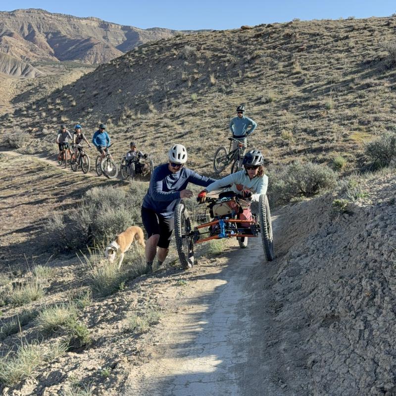
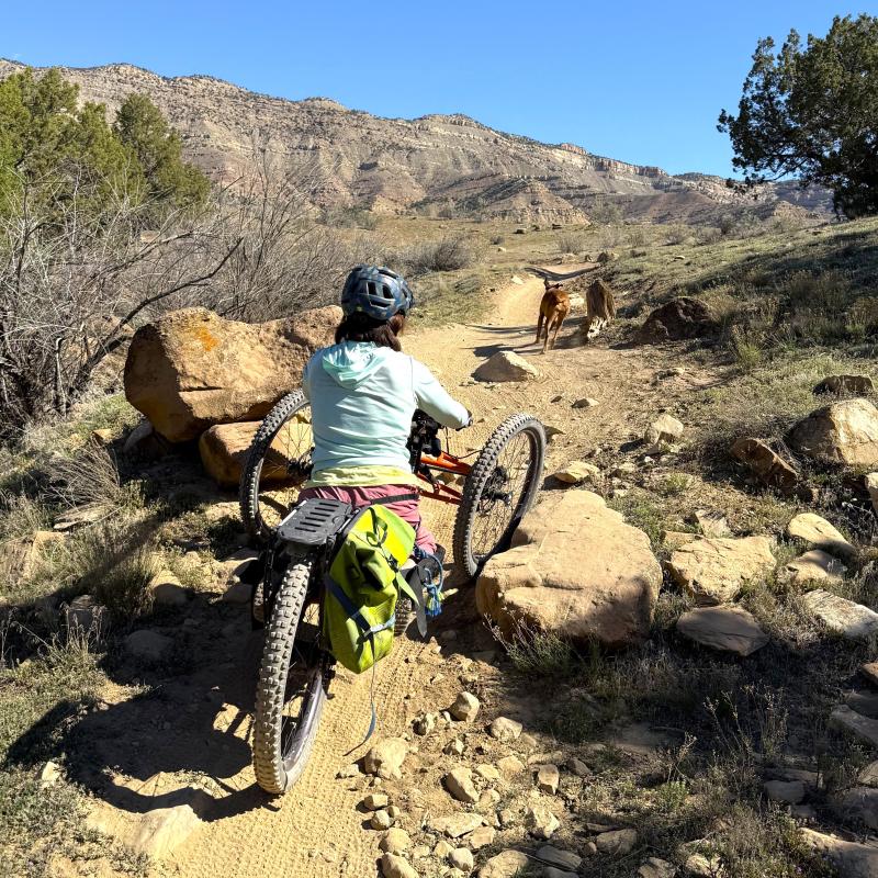
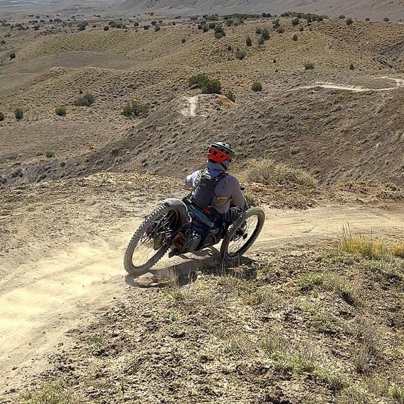
What is adaptive biking?
Adaptive biking refers to specially modified bicycles designed to make cycling accessible to everyone, including individuals with physical, cognitive, or sensory challenges. This helps ensure that everyone has the opportunity to enjoy riding and experience the freedom of the trails. These bikes often have three wheels for added stability, though some may have four, and can include features like:
- Hand pedals
- Foot pedals
- Electric assisted motors
- Suspension
- Articulating arms and linkages for enhanced maneuverability
- Multiple positions of seats
- One handed controls
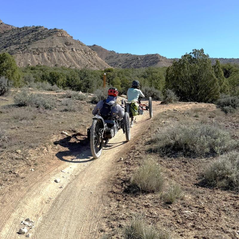
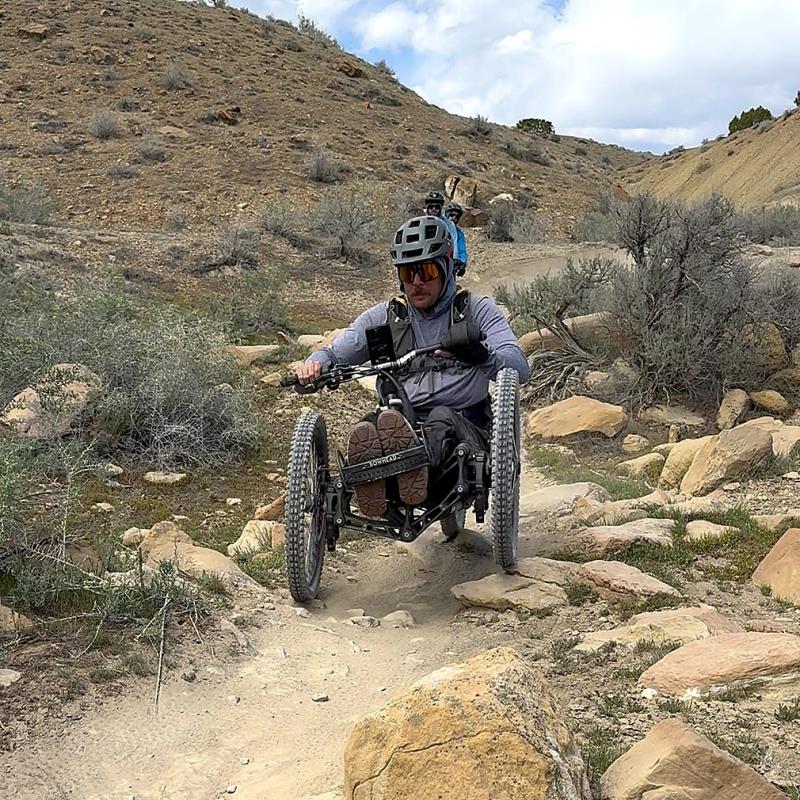
There are many adaptive biking options in Mesa County, whether you prefer paved, gravel, or dirt trails, wide or tight tread, smooth or technical trails, and with wide ranges in length and difficulty. Here is a list of recommended trails fit for adaptive biking in a range of different difficulties. Please reference the trail difficulty rating system above.
- Green circle: Riverfront paved trail, Monument paved trail, Connected Lakes paved trail, Snooks Bottom paved trail, Old Spanish trail, Chips and Salsa, Prickly Pear, Rustler's Loop
- Blue square: Twist n Shout trail, Quad Rocker, Prime Cut, PBR, Joe's Ridge, Mary's Loop, Wrangler double track
- Black diamond: Tabeguache trail, Rampage, Windmill, Zippity Do Dah, Mack Ridge
It's always a good idea to bike along with a guide or helper to maneuver through obstacles or unexpected variation in the trail tread. Learn more information from the local program Colorado Discover Ability and the Colorado Backcountry Biker shop for more trail recommendations and advice.
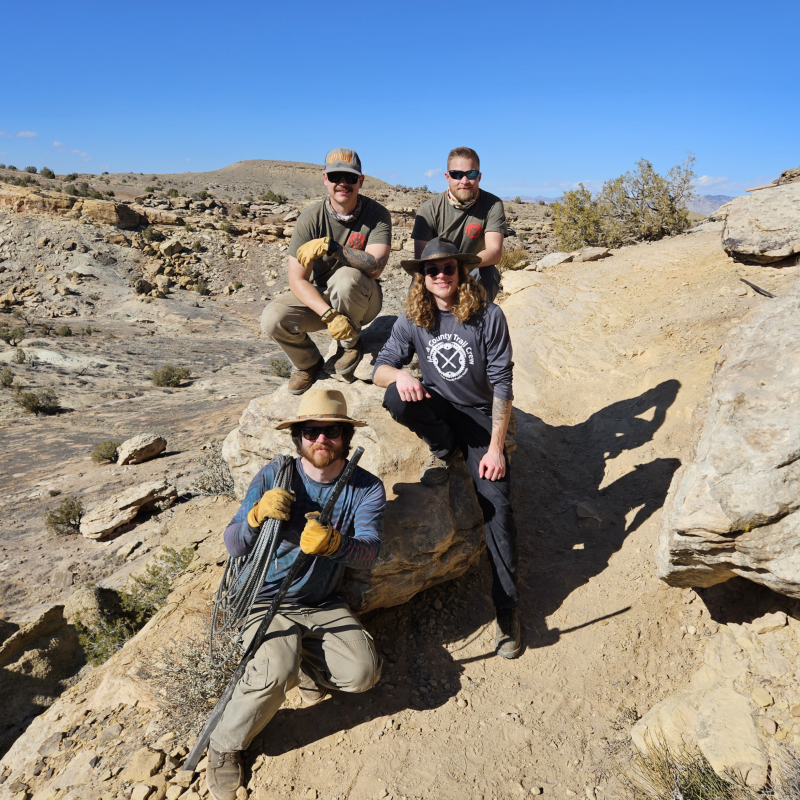
Meet the Trail Crew
The Mesa County Trail Crew currently has 3 members.
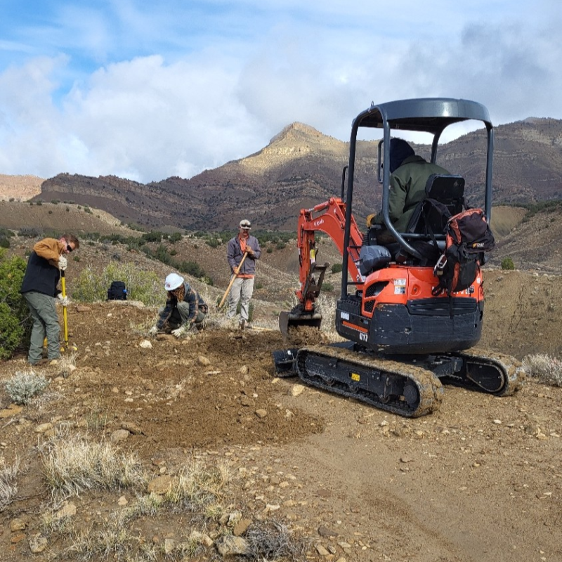
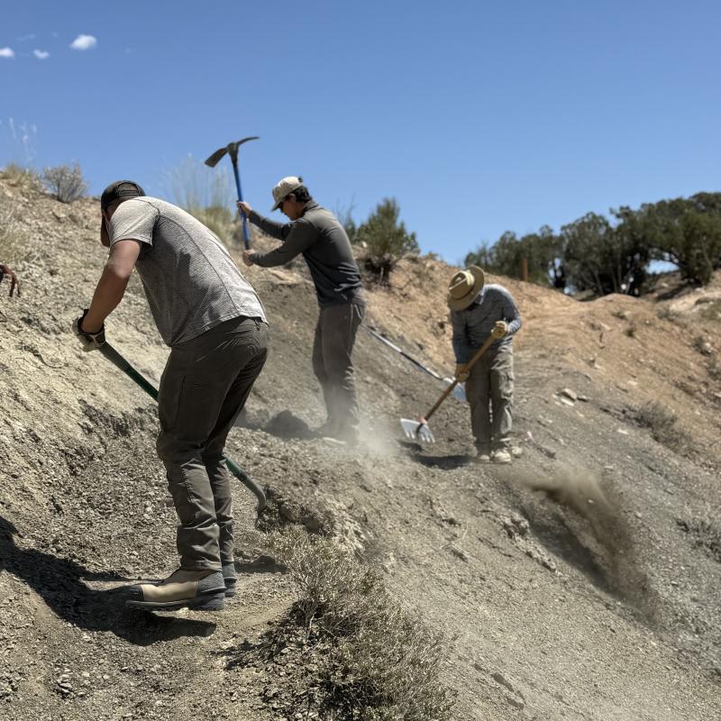
They work all year on most trails throughout Mesa County, constructing new trail and performing ongoing maintenance to ensure the trails and surrounding environment lasts for many years. Erosion degrades trails quickly so the goal is reinforce the tread and get water off the trail in key locations. They also keep trails clear of fallen trees and encroaching vegetation, especially on alpine trails.
Some maintenance they perform includes:
- Drainage clearing and construction
- Rock water bar construction
- Check dam and step construction
- Rock ramp construction
- Corridor clearing of brush and tree limbs
- Social trail closing and habitat restoration