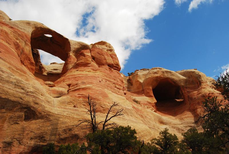
Community planning area- Glade Park
The Glade Park Plan is a component of the Mesa County Master Plan and is used in concert with the Mesa County Rural Master Plan. The Glade Park planning area, containing 241,121 acres, or 376 square miles is located to the southwest of Grand Junction and includes Glade Park, Little Park, Piñon Mesa, West End, Beezer Creek, Coates Creek and Little Dolores. It is bounded on the north by the McInnis Canyons National Conservation area and the Colorado National Monument. The west boundary is the Utah state line. Unaweep Canyon is to the south, and Bangs Canyon and other Bureau of Land Management (BLM) lands are to the east. About 62% of the plan area is private land (149,470 acres), while just under 35% is BLM land (82,702 acres) and 3% is U.S. Forest Service (USFS) land (7,385 acres).

