Know Your Flood Risk
Mesa County flood hazards
Most of Mesa County’s major stream flooding is caused by rapid snowmelt, which usually peaks in June. Cloudbursts, extreme amounts of rainfall in a short period, often cause floods in the smaller drainage basins. The County also experiences monsoonal weather patterns in late July and August that create the potential for flash flood events, often found in the steeper drainage areas. These events typically result in localized flooding and debris flow issues and have the greatest potential to cause major flooding.

Explore the flood risk in your area
Use the Mesa County GIS viewer to explore flood risk in your area. Make sure to check the Flood (FEMA), FEMA Regulatory Floodplain, and Potential Flood Hazard Area Layers boxes to activate these layers. Open the viewer on a separate web page.
Flood after fire
Did you know wildfires increase flood risk?
Heavy rainfall can occur any time of year, and properties directly affected by wildfires and those located downstream or below burn areas are at the highest risk of flooding.
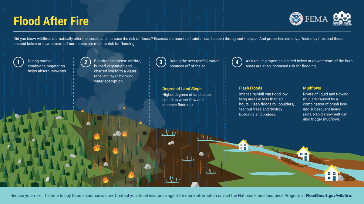
Why does wildfire increase flood risk?
- Vegetation typically absorbs rainwater.
- After a wildfire, burned vegetation and charred soil create a water-repellent layer, preventing water absorption.
- When rain falls, water bounces off the soil instead of soaking in.
- Steep slopes cause water to move faster, increasing the risk of flooding.
Post-wildfire flood risks:
Flash floods—fast-moving floods that may start within 6 hours of rain. These can:
- Roll boulders.
- Uproot trees.
- Destroy or damage buildings, roads, and bridges.
- Mudflows—Rivers of mud form when brush loss combines with heavy rain or rapid snowmelt. These mudflows can:
- Sweep away homes, vehicles, and infrastructure.
Protect your property
- Flood risk remains high for up to 5 years after a wildfire.
- Most property insurance policies do not cover flood damage.
- The best time to buy flood insurance is before flooding happens.
Learn more at the National Flood Insurance Program, and visit FEMA's Flood After Fire web page to learn about the policy options available to you.
To learn more about the dangers of flood after wildfires, visit Change Your Wildfire Story on FEMA's website.
Flash floods
Flash floods are sudden, violent floods caused by:
- Heavy rainfall
- Dam failure
- Localized downpours
They can happen even in dry areas and:
- Move boulders
- Tear out trees
- Destroy buildings and bridges
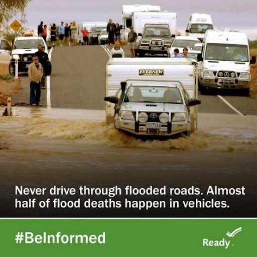
If flooding begins:
- Move to high ground immediately
- Never walk, swim, or drive through floodwaters
- Turn Around, Don’t Drown
Flood risk: what is flash flooding?
Learn more at Flash Flooding: Be Ready to Act on the FEMA website.
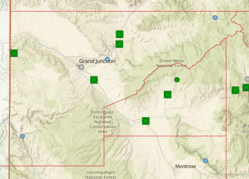
River gauges
Familiarize yourself with Mesa County’s flood conditions and stay up-to-date with our water levels with the United States Geological Survey WaterWatch and the National Water Prediction Service. These sites use stream and river gauges to detect abnormal water levels, which can inform emergency alerts and actions.
The following river gauges are located throughout Mesa County:
- 4 on the Colorado River
- 1 on the Dolores River
- 1 on the Gunnison River
- 1 on the West Divide Creek
- 1 on Plateau Creek